Drone Services
TGC provides custom aerial video solutions utilizing hi-resolution JPG and MPG imaging. Orthomosaics and thermal imaging are available.
Basic JPG IMAGING
These 4k resolution JPGs provide detailed aerial views for roof inspection and/or construction progress report.
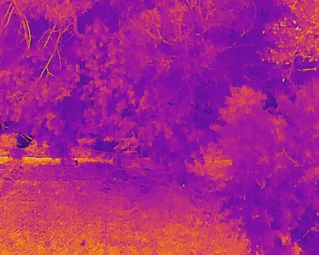
THERMAL IMAGING
Hi-resolution thermal imaging useful for crop, wildlife tracking, building inspections, people recovery and identification, power line, transformer and solar inspections.
Advanced - Orthomosaic
An orthomosaic map is a highly accurate, geometrically corrected aerial image that provides a true top-down view of an area, free from distortions and perspective errors.


